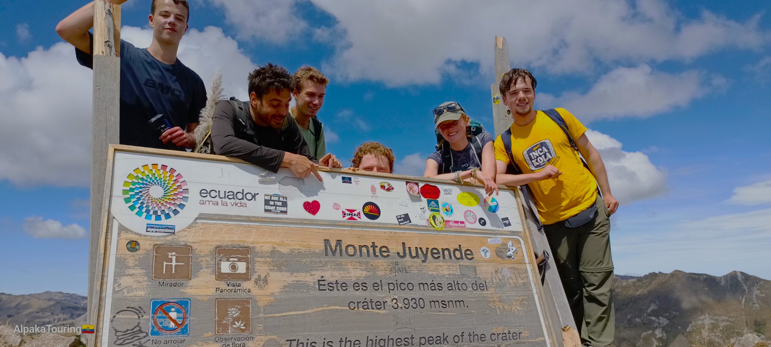
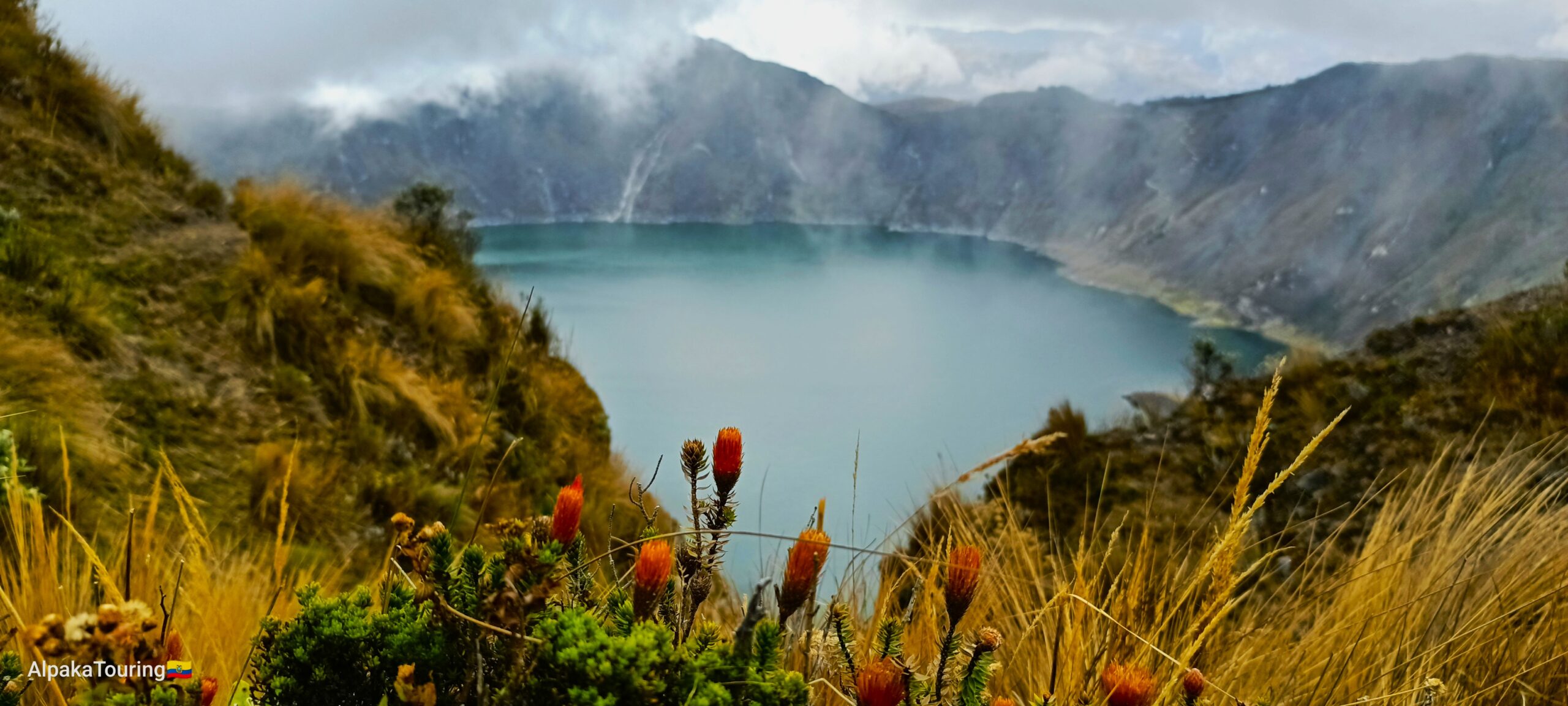
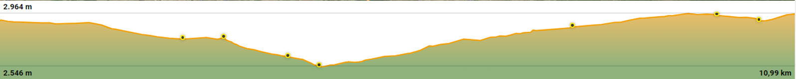
Crater Loop (Circuit Quilotoa Crater)
A 10 km circuit, around the Quilotoa Crater, offers endless landscapes in all directions. Explore native vegetation surrounded by canyons and volcanoes, near Kichwa Communities of the Andes. Experience changing climates and terrains as you progress along the trail.
- Average altitude from 3800 to 3930 meters above sea level (12 468 – 12 894 ft) at the highest peak of the Crater: Monte Juyende.
- One of the most sought-after goals in the Quilotoa Loop Circuit is the “Crater Loop” presenting different perspectives from the Trail.
Distance: 10 km
Average time: 5 hous. (Depends on weather and physical conditions)
Level 6
![]()


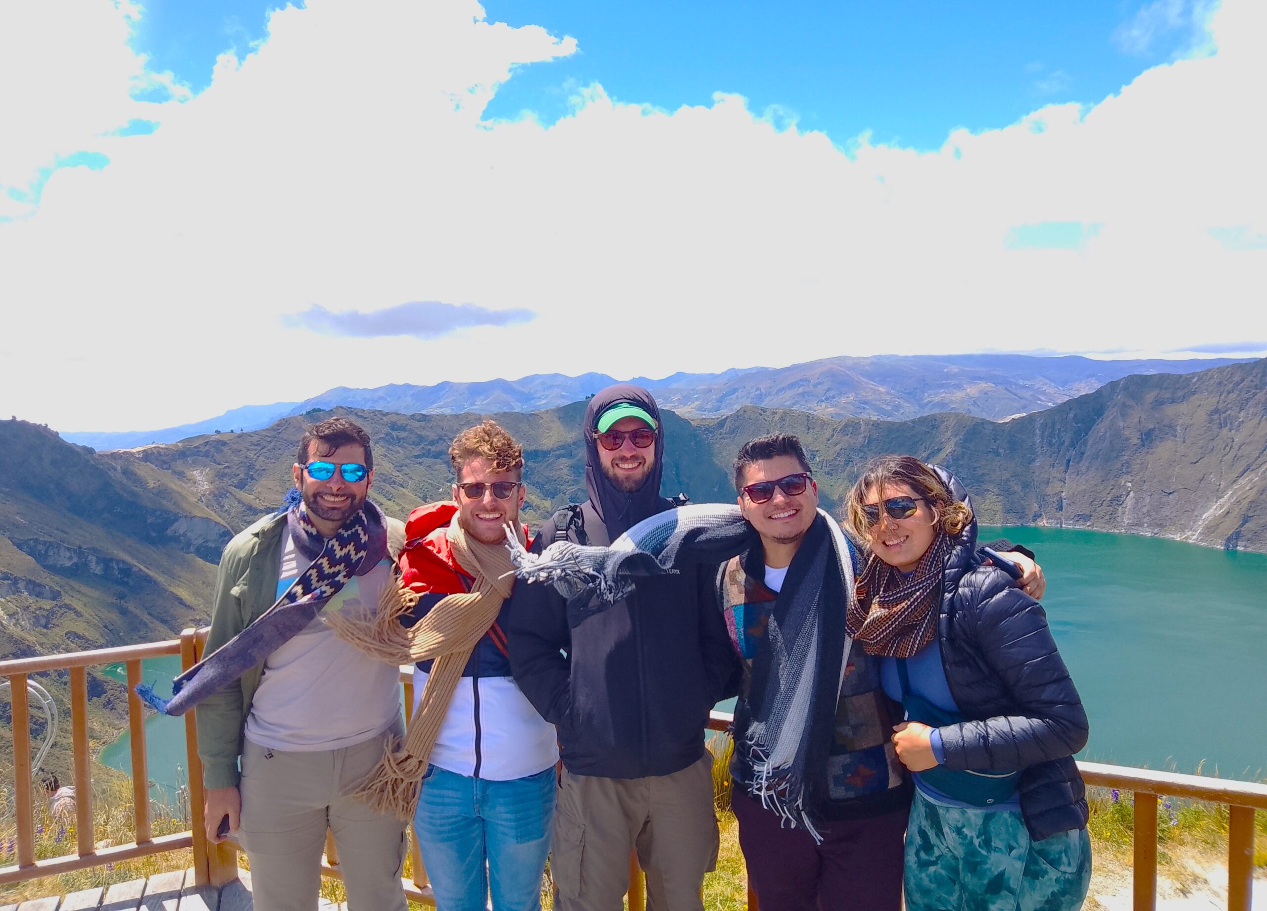
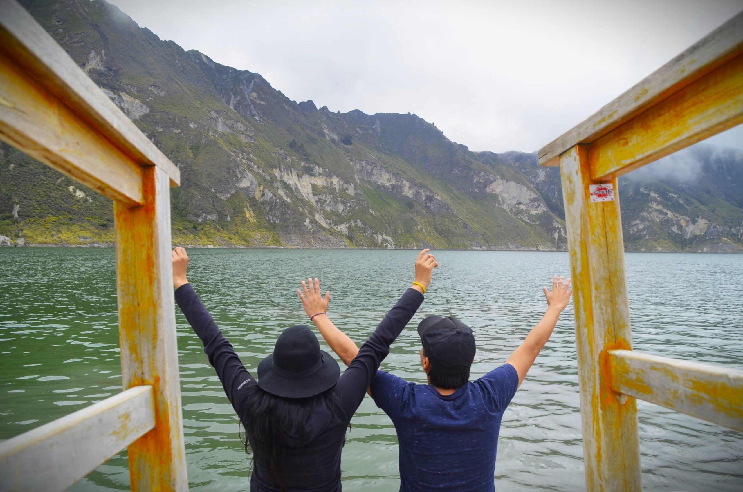
Way to the Volcanic Lagoon!
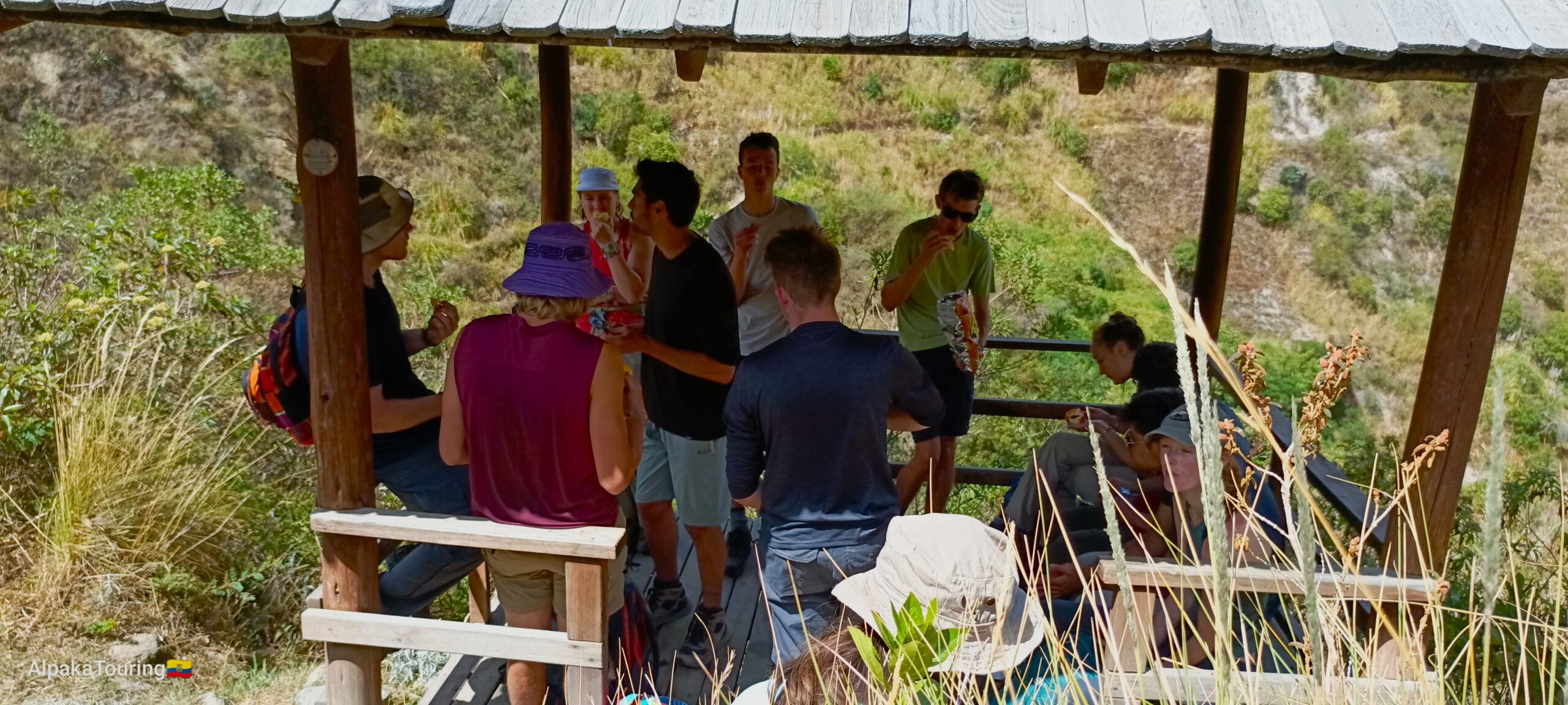
The segment of Quilotoa Loop that everyone deserves to experience.
The segment of Quilotoa Loop that everyone deserves to experience. The trail to the lagoon offers varying ALTITUDES, providing a different perspective of the “Great Water-filled Volcano!” – a perfect way to conclude (or start) the Quilotoa Loop Circuit.
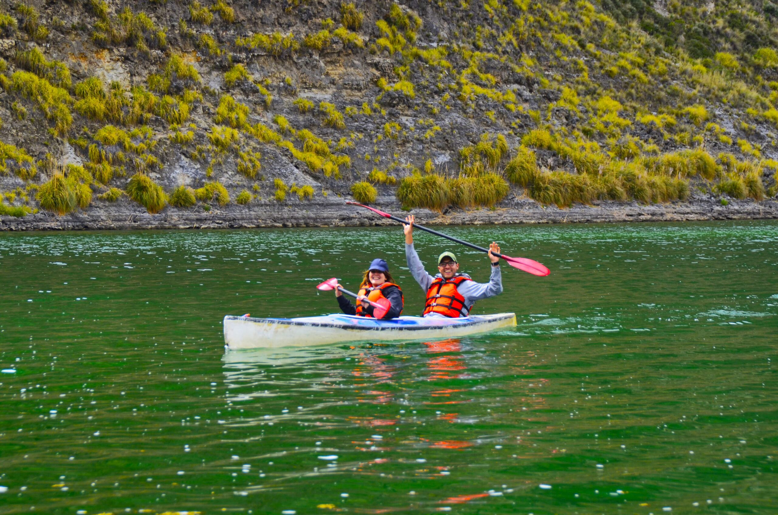
At the end of the nearly 1.7 km trail, you’ll find the Lagoon Dock at 3,500 meters above sea level. The community offers activities such as a 25-minute or 1-hour kayak, motorboat ride, or ascent back to the community on mule/horse. You can even inquire about camping by the lagoon.
Optional activities offered by the community: 25-minute Kayak: $3, Motorboat: $5, Mule/horseback to the community: $10
Distance: 3.6 km
Average time: 3 hous. (Depending on weather and physical conditions).
- From the Community to the Lagoon: Descent 1 hour
- From the Lagoon to Community: Ascent 1 hour and 20 minutes
Level 4
![]()


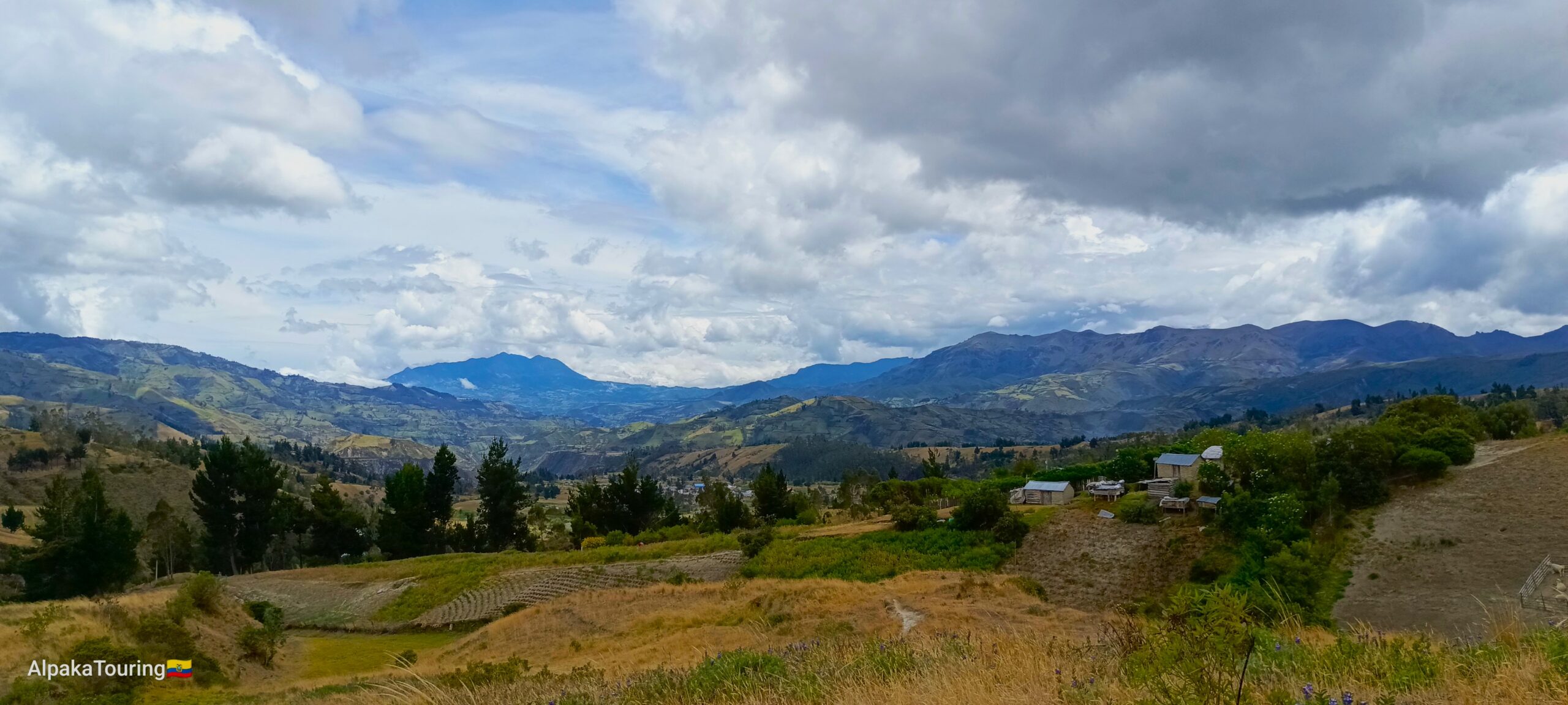
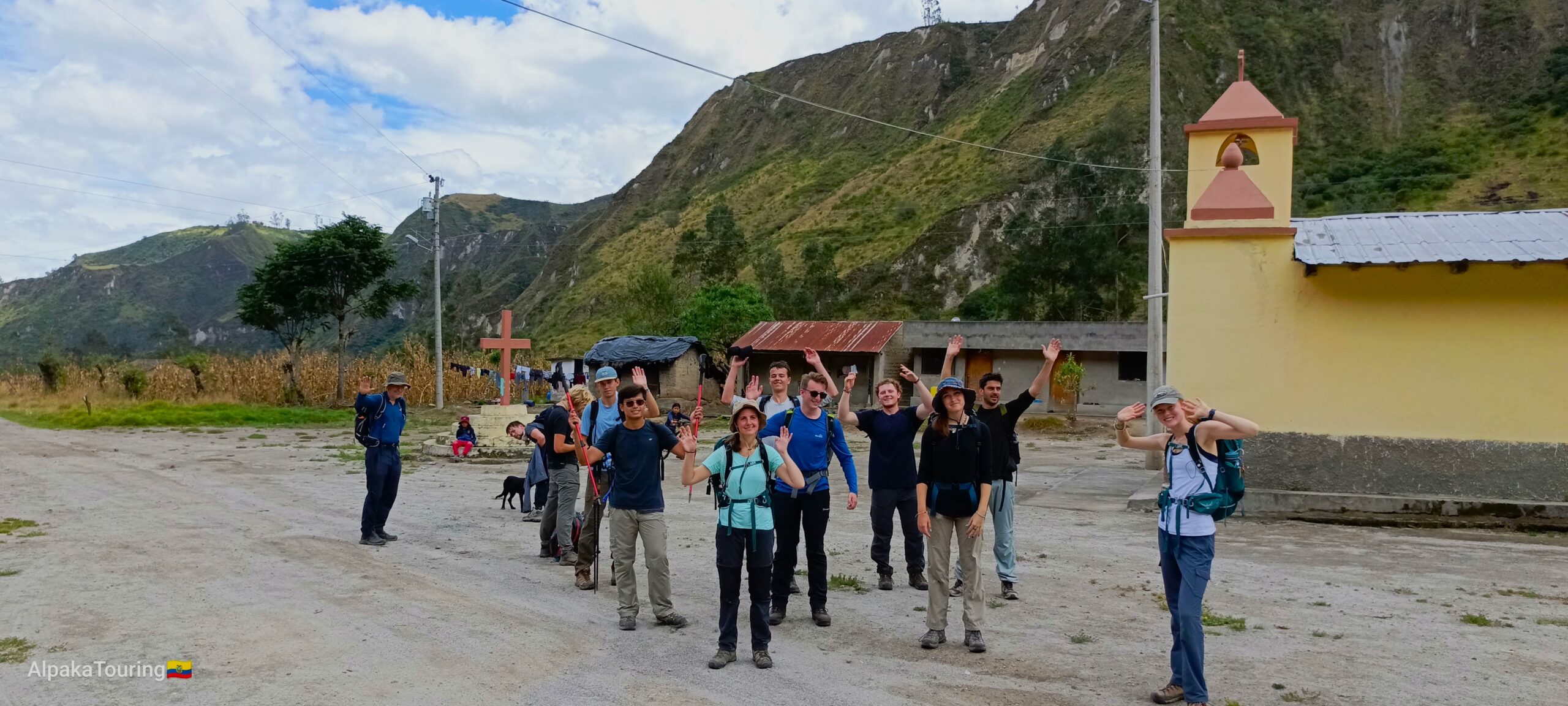
Trekking Chugchilán – Quilotoa
Gateway to the Grand Canyon of the Toachi River and slopes of the Quilotoa Volcano (North Side of the Crater).
The picturesque beauty of the volcano and its turquoise lagoon is complemented by the historic northern area of Quilotoa, where communities have thrived for centuries in the Western paramos of the Andean Cordillera. History tells us that human groups inhabited the vicinity of Quilotoa during its last eruption in the 12th century.
Today, many families in the communities, engaged in various productive activities, inhabit the surrounding Cordilleras, the slopes of the volcano, and the Grand Canyon formed centuries ago.
The trails of the “Circuito Quilotoa Loop” cross different climatic zones and landscapes:
- In the low areas within the Grand Canyon of the Toachi River, at 2600 m asl (8,530 ft) where it is even easy to see some fruit shrubs of temperate climate,
- The Guangaje and Chugchilán Cordilleras (East and West of the Toachi River) where the settlements of accommodation are at 3200 msnm (10,498 ft) and dirt roads
- To the “subparamo” area, reaching Quilotoa Crater, at 3870 m asl (12,696 ft).
If Chugchilán town is on your route, you can choose the starting point either from the city of Sigchos at 2900 m asl (9,514 ft), or from the town of Isinliví at 3200 m asl (10,498 ft).
Average time: 6 hours (Depending on weather and physical conditions)
Distance: 11 km (6.8 miles)
Level 8
![]()
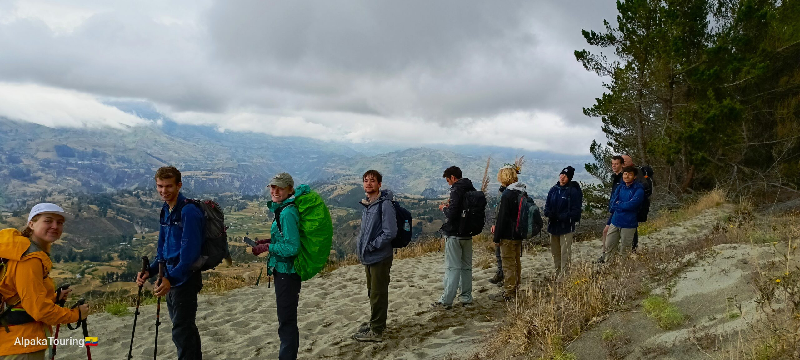
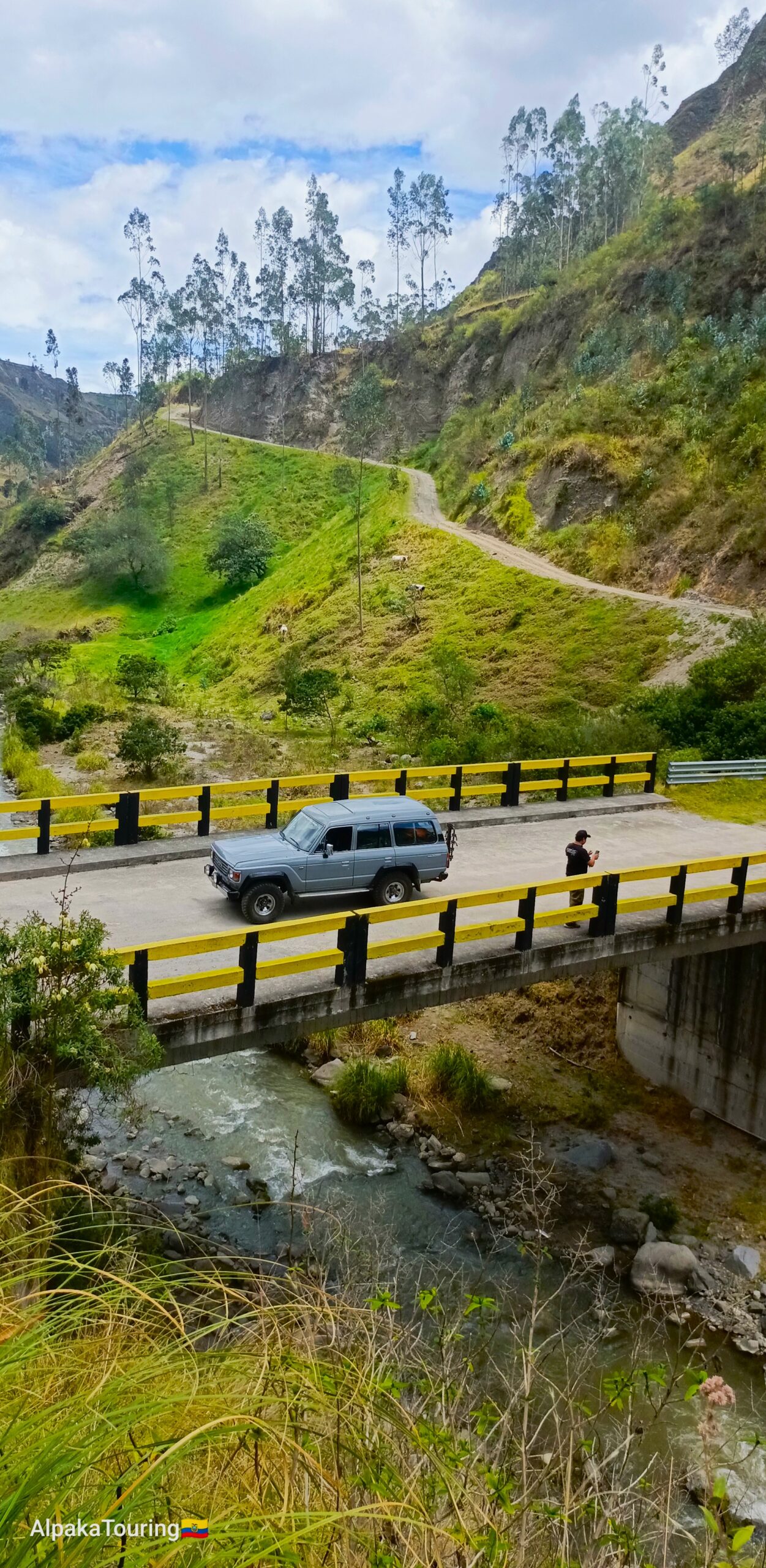
Trekking Sigchos – Chugchilán
The trek entirely crosses the Toachi River Canyon, a canyon formed by Quilotoa centuries ago in its last eruption. This trail is slightly longer than other sections of the Quilotoa Loop Circuit. What enchants hikers is that, for much of the way, while crossing a valley, you enjoy the path alongside the river. You will encounter native shrubs and trees that originally dominated the path; however, part of this vegetation has been replaced by crops, pastures, or forests of exotic trees from the Pinus and Eucalyptus genera.
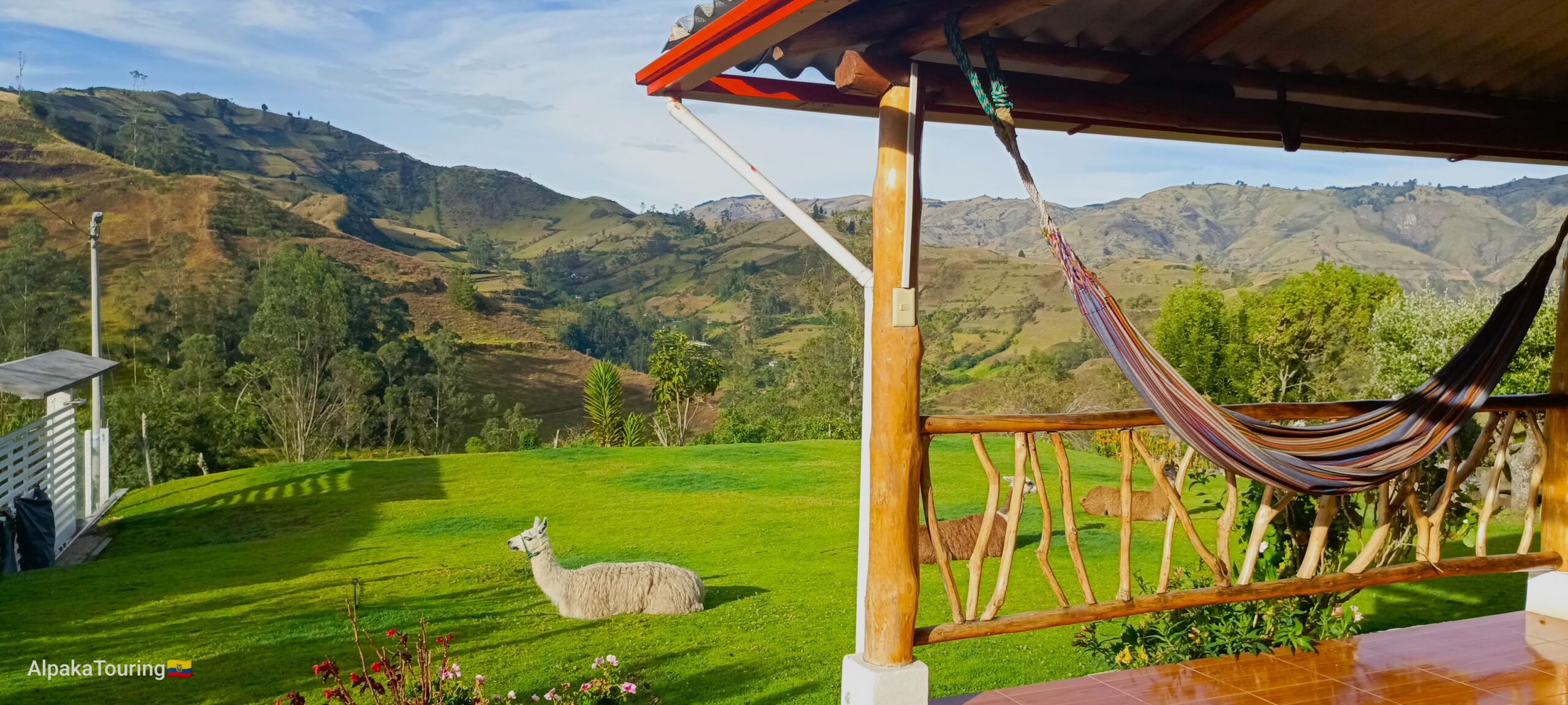
This trail is friendly for those looking to acclimatize in a short time. From the city of Sigchos, you can add the town of Isinliví to your plans, which is 3000 meters above sea level. In recent years, Isinliví has become a popular lodging destination.
Average time: 5 hours (Depending on weather and physical conditions)
Distance: 17.5 km (10.9 miles)
Level 5
![]()

Trekking Isinliví – Chugchilán
If you’ve decided to reach Isinliví, it indicates that your adventurous spirit led you to cross the Toachi River and the Grand Canyon from Sigchos or previously, from Toacazo Town, cross the Guangaje Range and Wingopana Hill at 3,920 meters above sea level.
Taking an extra day in Isinliví to explore the eastern side of the canyon is an excellent way to complement your Quilotoa Loop Circuit. So, from Isinliví to Chugchilán, you first experience a descent to 2600 meters above sea level, following the river, and then an ascent to the western side of the canyon where the town of Chugchilán is located.
Average time: 5 hours (Depending on weather and physical conditions)
Distance: 12 km (7.5 miles)
Level 6
![]()

Trekking Sigchos – Isinliví
Sigchos, an ancestral city, a fusion of productivity and history, invites us to discover beyond the mountains and canyons surrounding the city. It has always been a reference point to start or continue extensive journeys. To the north of Sigchos, the Toachi River unfolds, and the Cerro Azul with lesser-known places like the Basaltic Columns of Tangán and the sub-tropical montane forest, ideal for exploring sugarcane fields and longer 4×4 expeditions. To the west, there are direct connections to archeological sites, to the cloud forest, and to the Coast Region.
In this case, from Sigchos take the southeast, descend towards the Toachi River, and ascend to Isinliví Town.
Average time: 5 hours (Depending on weather and physical conditions)
Distance: 12 km (7.5 miles)
Level 5
![]()
BONUS Trekking Columnas de Tangán (Basalt Columns of “Tangán”)
A hidden paradise in this “Quilotoa Loop Circuit”, the recently discovered and studied place: “Las Columnas de Tangán”, located at 2670 meters above sea level (8,759 ft) in a semi-tropical climate, is an excellent way to acclimate with short or long walks towards Sigchos. Due to the almost perfect shape of the “columns”, a few years ago the work was attributed to pre-Hispanic groups. However, its origin lies in an ancient volcanic eruption.
Seven kilometers northeast of this destination is the “Almas Santas” volcano(most known as “Cerro Azul”), which erupted long ago, producing a massive flow of andesitic lava that traveled down its slopes and descended to the Toachi River. The gradual and slow cooling of the interior of the lava caused it to break gradually into “prisms” as it solidified. The prisms, also called Basaltic Columns, are generally hexagonal (6 sides), pentagonal (5 sides), or heptagonal (7 sides). So, the wall we admire today has been created over millennia of erosion after the most unstable rocks have naturally been removed.
Average time: 1-3 hours. (Depending on weather and physical conditions)
Distance: some options from 2 to 10 km
Level 4 – 5
![]()
